Can Google revolutionize the navigation sector again with the advent of Google’s HD Maps? A technology that takes our understanding of the world around us to a whole new level.
If you’ve ever found yourself asking, “What exactly are Google’s HD Maps, and how do they transform our navigation experiences?” then buckle up and let’s embark on this enlightening journey.
What is Google’s HD Maps?
Google’s HD Maps are high-definition digital maps that provide detailed, accurate, and up-to-date representations of the environment.
Unlike traditional maps, HD Maps deliver a far more precise view of roads, lanes, and surroundings, including the exact locations of road signs, traffic signals, and even the road’s curvature.
This technology is at the forefront of the revolution in autonomous vehicle navigation, making it possible for self-driving cars to “see” and understand their environment in unprecedented detail.
Breaking Down the Basics
- High-Definition: With resolution down to the centimeter, these maps paint an incredibly detailed picture of the world. This is light years beyond the typical road map or even satellite imagery.
- Real-time Data: Google’s HD Maps aren’t static. They constantly update with real-time information about road conditions, traffic, and environmental changes, ensuring the highest degree of accuracy.
- Machine-Readable: These maps aren’t just visually impressive; they’re designed to be “read” by machines (particularly autonomous vehicles), translating complex environments into actionable data.
How Does Google’s HD Maps Work?

Building an HD Map is a complex task, which involves crowdsourcing data from various sensors and cameras installed on vehicles that traverse our roads daily.
The data is then processed and combined using advanced algorithms to form a detailed, three-dimensional representation of the world.
This sophisticated process can be broken down into three fundamental steps:
- Data Collection: Through Lidar sensors and cameras, Google captures raw data about the physical world. This includes road features, buildings, and other critical elements.
- Data Processing: The raw data is then processed using machine learning and computer vision algorithms. These algorithms detect, classify, and localize features to create a detailed map of the environment.
- Map Creation: After data processing, the features are assembled into a comprehensive and accurate map that can be used for navigation, especially by autonomous vehicles.
The Future with Google’s HD Maps
The primary goal of Google’s HD Maps is to pave the way for autonomous driving. The detailed environmental understanding these maps provide plays a critical role in ensuring safe and efficient navigation for self-driving vehicles.
But the applications don’t stop there. In the future, we can expect this technology to also enhance human navigation, improve augmented reality experiences, and even help in urban planning and development.
Conclusion
As the future unfolds, the importance of this revolutionary technology can only grow. Google’s HD Maps is a significant leap forward for digital mapping, defining a new era for navigation and autonomous vehicles.
So, the next time you wonder, “What is Google’s HD Maps?” remember it’s not just a map, it’s the future of navigation!
Still hungry for more details on Google’s HD Maps? Check out Google’s official blog where they delve deeper into the world of HD mapping. Or if you’re interested in the wider world of autonomous driving, here’s a primer that breaks down the technology in layman’s terms.
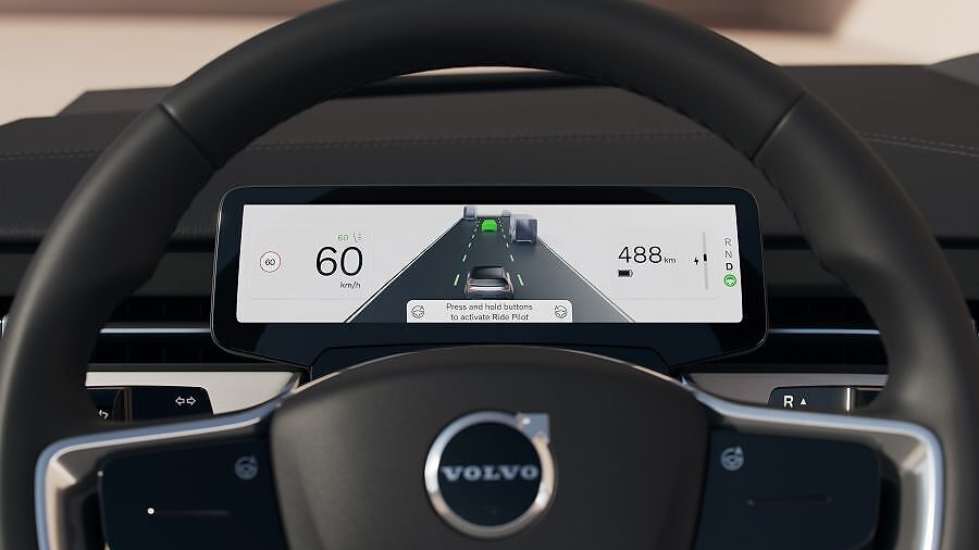
Main image: courtesy Volvo